Lucky I love to live dangerously 🙂

Up and early, a taxi pulls up to the front door of Downtown, and Rocky, an American lady, a couple from Holland and I all pile in – destination = Prasat Preah Vihear Temple
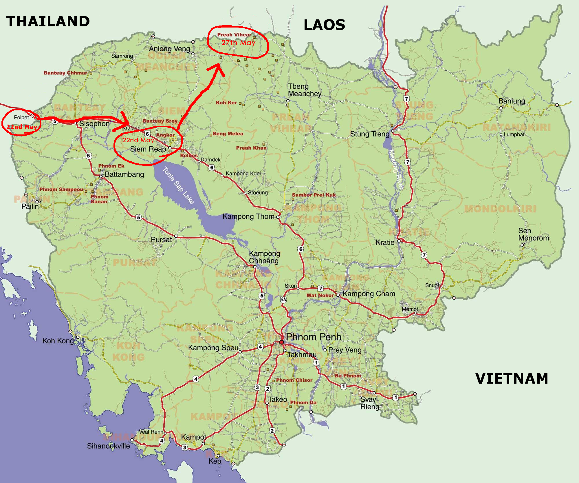
My journey, leg2

The road from Siem Reap to the base of Prasat Preah Vihear via Anlong Veng, is a distance of about 210 km and is fully paved. We drove through so many little towns on the way with one coffee stop at a roadside stall. The American lady then pulled out a few different types of fruit and showed me how to eat them all. After that, I fell in love with the fruit in South East Asia S.E.A and ate it as much as I could throughout the rest of my journey.
Preah Vihear was in sight!!
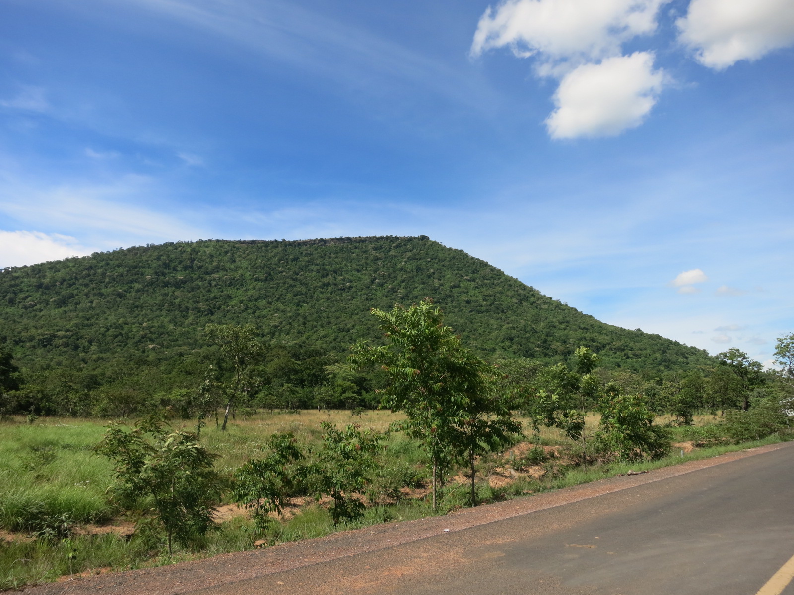
Preah Vihear doesn’t look that tall from afar..
Eventually we pulled up at the ticket office at the base of the mountain where we had to collect our ticket and show ID. As my backpackers had kept my passport in Siem Reap, I had only a photo of my passport on my Ipad to show, which seemed to be enough. ** I think the ID was to prove that we aren’t Thai, as Thai are no longer allowed to visit the temple at all.
We all put in for the $25 needed to hire the pickup truck to get us up there, so we all jumped in the back of the pickup and were on our way up the big mountain..

Ticket office at base of Preah Vihear and the pickup truck we hired.
Prasat Preah Vihear (ព្រះវិហារ) is a Khmer (Cambodian) temple stunningly situated atop a 525-metre cliff in the Dângrêk Mountains in Cambodia. Predating Angkor Wat by 100 years, the history of the temple/fortress is somewhat unclear, but it is known to be dedicated to the god Shiva and thought to have been constructed in the reign of Suryavarman I (1002-50), with further significant additions by Suryavarman II (1113-50). Unlike most Khmer temples, the temple is constructed on a long north-south axis, instead of the usual rectangular plan facing east.
Some of the road to the top was extremely steep and from the back of the pickup was quite exciting, if not a little scary. When we stopped at the parking area, the first thing I noticed were soldiers with guns walking around and sitting on the edge of the mountain overlooking the Thai border. We were told not to take photos of the soldiers as it can be used as military information for Thailand against them. Our new tour guide/driver from the ticket office, pulled out a map and showed us where the Cambodian’s consider the border line between Thailand and also drawn on the map was the line where Thailand believes their country border to be. It’s bizarre to think Thailand and Cambodia have different maps outlining different border positions.
Here is your last chance to get water to take and I highly recommend it. It’s quite a hike to the top in usually very warm temperatures. And the first stage of the journey begins;
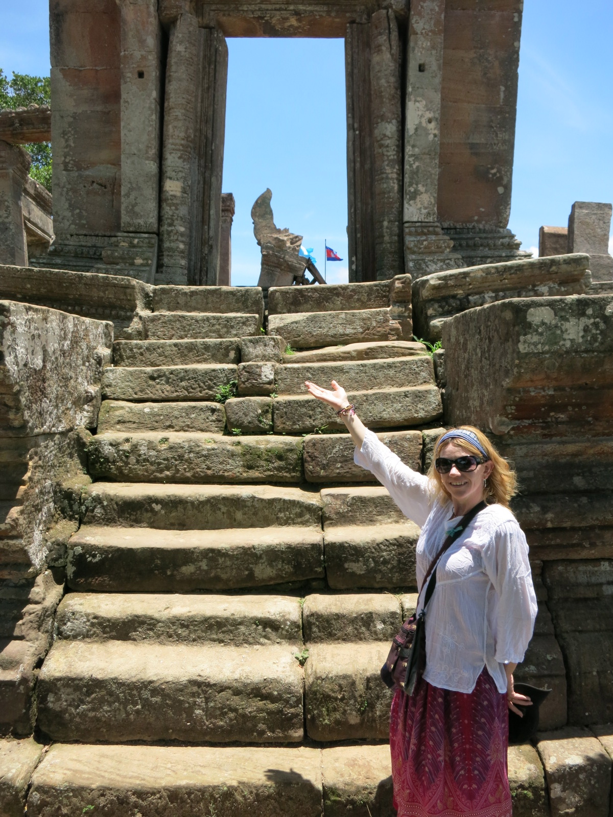
- The fun starts with 162 stone steps (#1), a fairly steep climb that will get you warmed up nicely. Your reward is a short set of stairs decorated with nagas and Gopura I (#3), a solitary pavilion with a fluttering Cambodian flag which is the image on the Cambodian 2000 riels.
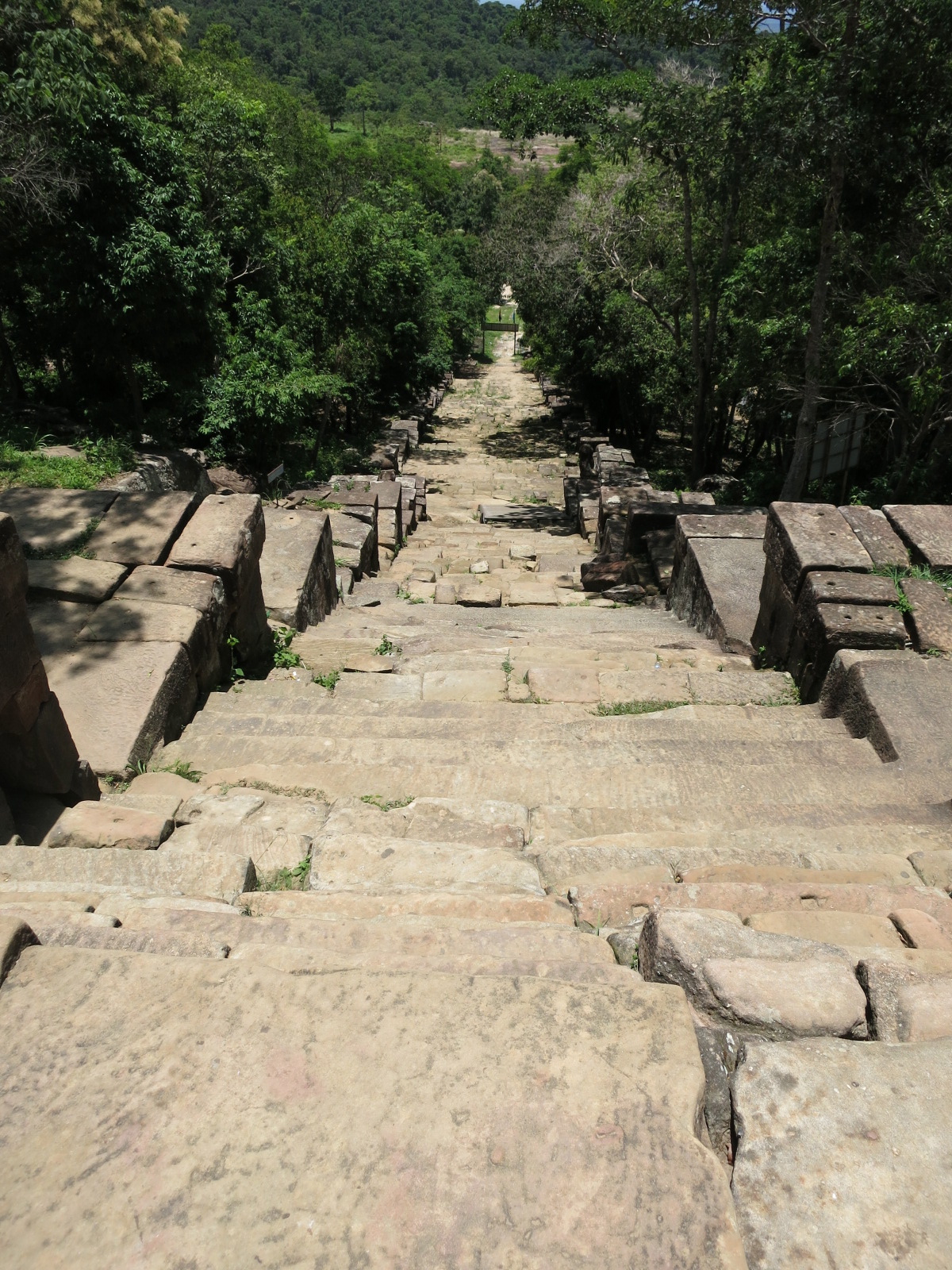
162 steps and that was just for starters..
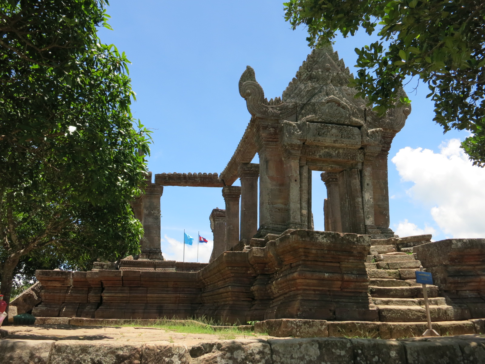
The image on the Cambodian 2000 riels.
You can see the Cambodian and World Unesco flags flying which caused protests in Thailand when first raised.
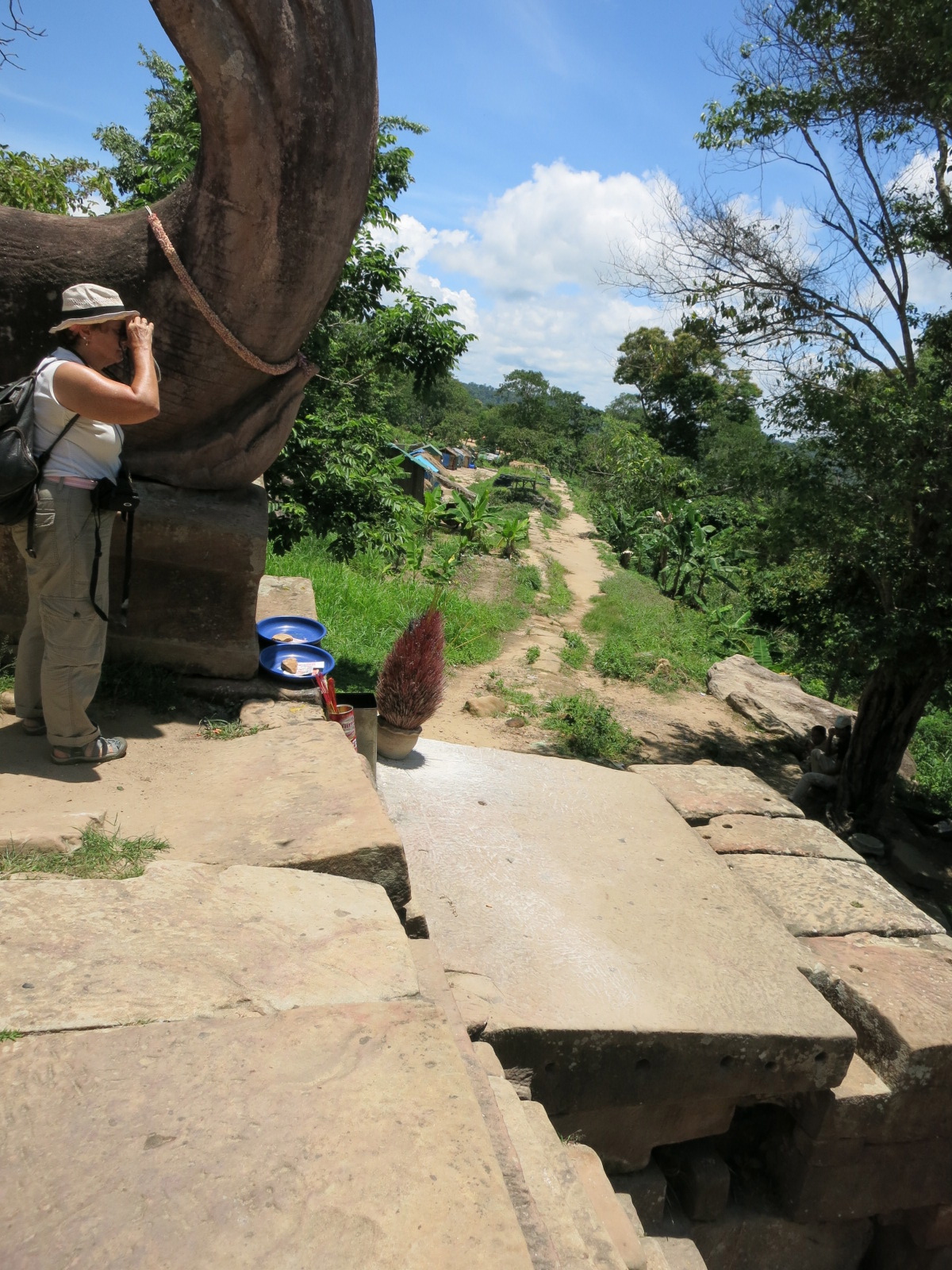
The American lady in our group
- A 500-metre gently climbing avenue leads up to Gopura II (#6), another smallish pavilion, and a large boray (water cistern, #4) to the left.

Our taxi driver from Siem Reap later revealed to me that his family came from this area and was relocated with all of the families from this area during the military unrest time when missiles were fired across the Thai border. The families used to earn their income from markets catering to tourists, but the relocation inland left them with no means to earn a livelihood.
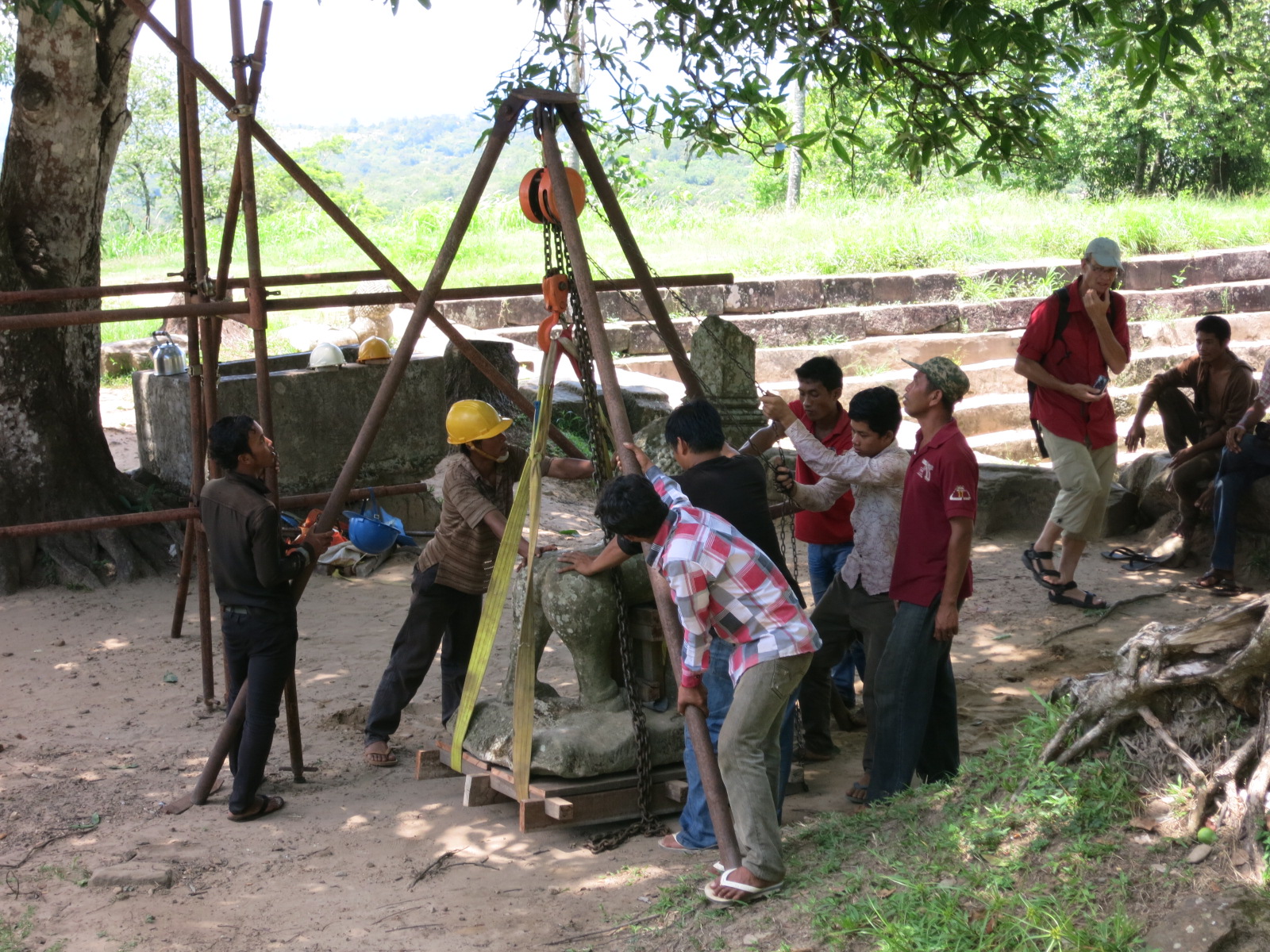
This statue was being relocated to a museum. Note the primitive way employed to move this extremely heavy relic.
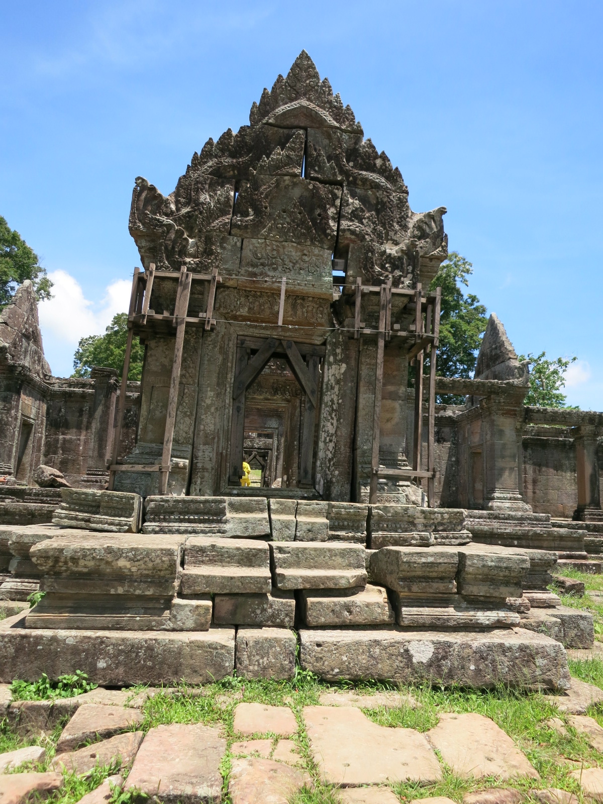
- Yet another avenue (somewhat shorter this time) leads to, yes, Gopura III (#9), but also the first courtyard of the temple and the first point where visitors to Angkor Wat will start feeling a sense of deja vu. Make a detour to the left side of the gopura to see relics of a more modern era, in the form of a rusting artillery gun and a few bunkers.
Getting there..


- A short causeway decorated with nagas leads to the inevitable Gopura IV (#14) and behind it the second courtyard. On the other side of the courtyard is Gopura V aka the Galleries (#17), and beyond it the Main Sanctuary (#18), the centrepiece of the site which now houses a miniature Buddhist temple.


- But what makes the effort worthwhile lies just outside, so sneak out the left side to find yourself at Pei Ta Da Cliff, with a sheer 500 metre drop and a jaw-dropping vista of the Cambodian jungles below.
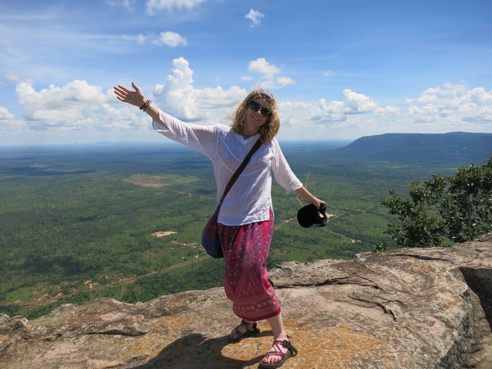
Amazing view. Sooooo worth the hike and a whole day trip.


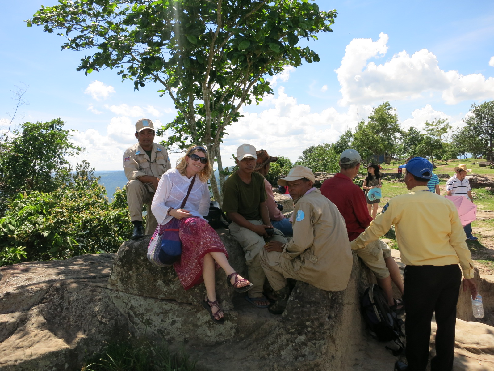
Making friends with the soldiers patrolling the temple
And a little walk around the temple will lead you to this amazing tree
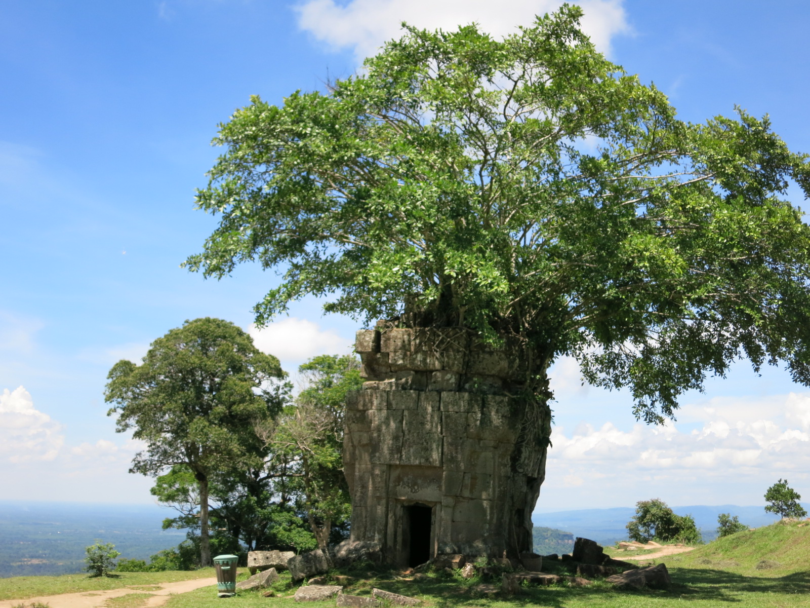
And the view from inside the tree

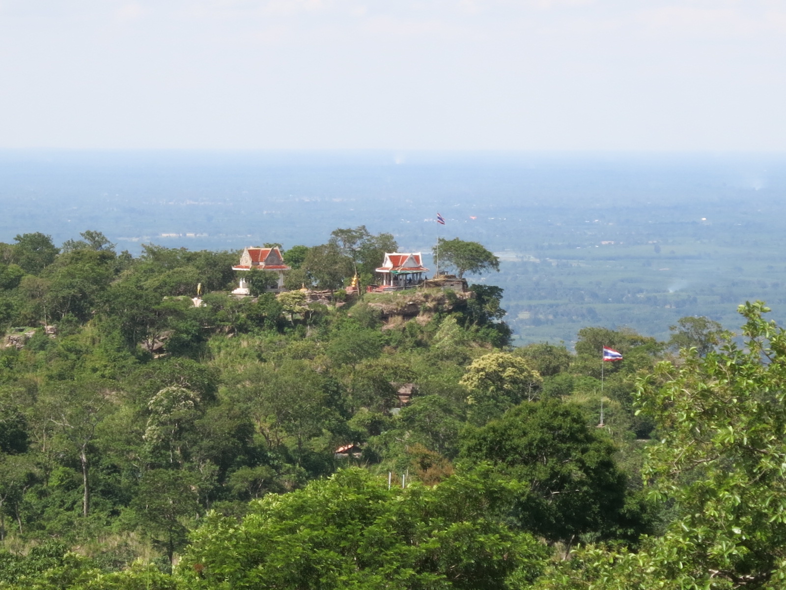
Looking over to the Thai border you can see the Thai patrols..
Standing on the border between Laos, Thailand and Cambodia was quite an incredible experience. As was seeing Preah Vihear. I definitely recommend this day trip, for the view, the temple, the history of the area and also the drive through Cambodia to get there. Once again, Cambodia has shown me how privileged, safe and insulated my life has been so far compared to what other people have experienced in theirs.
The last exciting leg of the journey was from the back of the ute and holding on for your life to descend down the mountain with very steep declines of what felt like nearly 90 degree angle roads. Then a straight drive back to Siem Riep for a $1 foot massage and fish foot sauna after all the walking during the day. It wasn’t goodbye though to my new friends. Coincidentally I bump into them again 2-3 times later in different parts of Cambodia, in the weirdest of circumstances.. To be continued…
**Travel tip: Rather than pull out your passport all the time, keep a copy of it on your media or a photocopy of the number to show whenever needed rather than pull out your passport each time you buy a bus ticket or whatever. And also, in the case of it getting stolen you have a record of the number.


